|
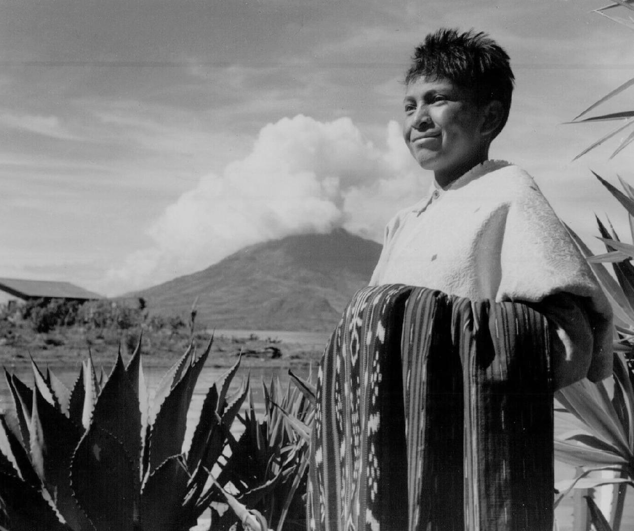
Guatemala is the northern-most of the seven Central American nations. It is the third-largest country in Central America, about the size of the Ameriacan sate of Virginia. Despite its small size, the elevations in the highhlands reaching to about 4,200 meters giving rise to many diverse ecosystems. One assessment describes 14 different ecosystems. The country shares borders with Mexico, Belize, Honduras, and El Salvador. Within Guatemala’s relatively small area are 14 distinct ecosystems found at elevations varying from sea level to higher than 4,200 meters (14,000 feet). It is bordered by Mexico on the north and west; Belize, Honduras, and El Salvador in the east; and the Pacific Ocean in the south. The country has three major geographic regions. First and most prominently is The highlands because this is where much of the population lives. The higlands cut across the south western area of the country, part of a mountain chain running north into Mexico. It is part of the Pacific ring of fire and the Andes to the south and the Rockies to the north. The mountainous highlands is the area that gave birth to the Mayan civilization. The volcanic highlands run through the country west to east from Mexico east to El Salvador. The higher elevations are in the western sector and lower as you approach the Salvadoran border. The climate in the highlands is temperate. The temperatures can drop dramatically depndomg on how high up you go. Precipitation varies greatly, but depends primrily on which side of the highlands mountain chain. Abundant precipitation to the west, more arid conditions to the east. Second is a narrow tropical region that runs along the Pacific coast and into the narrow Caribbean coast. Along the Pacific coast there is a highly productive agricultural area that was once cobered in tropical forest but now is mostly sugarcane plantations and a little up into the highlands coffee plantations. Gutaemala has a narrow Pacific Coast covred by wetlands, mangrove swamps, and beaches with black sand because of the volcanic mountains. Third is the poorly watered tropical northern lowlands, known as the Petén. It is very lightly populated, largely becasuse of the rid conditions. It was once tropical forests, but has been deforested, especilly in the southern region. Major Mayan sites like Tikal are located in the north.

Navigate the Children in History Website:
[Return to the Main Guatemalan page]
[Return to the Main Latin American gography page]
[Return to the Main geography country page]
[Return to the Main Latin American page]
[About Us]
[Introduction]
[Biographies]
[Chronology]
[Climatology]
[Clothing]
[Disease and Health]
[Economics]
[Geography]
[History]
[Human Nature]
[Law]
[Nationalism]
[Presidents]
[Religion]
[Royalty]
[Science]
[Social Class]
[Bibliographies]
[Contributions]
[FAQs]
[Glossaries]
[Images]
[Links]
[Registration]
[Tools]
[Children in History Home]