|
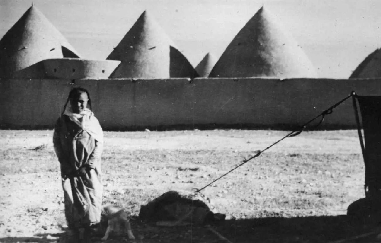
Syria is located at the heart of the Levant on the northern fringe of the vast Arabian Desert. Modern Syria is situated between the two great river valley civilizations, Mesopotamia to the east and Egypt ton the southwest.and Egypt. And the ancient struggle between Hittites and Egyptians shifted to a divide between the Turkish north and Arab south. The Euphrates River waters the north and thus the north falls within western zone of the famed Fertile Crescent which gave birth to civilization. Much of central and southeast Syria is very arid, approaching desert conditions. Basically Syria is a relatively flat, arid plateau, crossed by mountains with a narrow coastal plain in the the west along the the Mediterranean Sea. The northern Alawite mountains and southern Anti-Lebanon mountains form a coastal range in the west that separate a narrow coastal plain from the vast Hauran Plains of the the southwest. The Anti-Lebanon mountains are the country's border with Lebanon. The highest elevation is Mount Hermon in the extreme southwest reaching 2,814 meters (m). Much of the remainder of the country consists of undulating arid plains from 300 to 500 m in elevation perforated by several smaller mountains. There are important bodies of water, mostly in the northwest where the Euphrates flows southeast across the country from Anatolia, modern Turkey. They include include Lake al-Assad, a reservoir on the Euphrates River. The most important tributary of the Euphrates is the Khabur River, also rising in the Turkish mountains. There are several smaller rivers,. mostly also flowing out of the Turkish mountains. in the southeast, the Syrian Desert merges into the unforgiving great Arabian Desert. This means that much of Syria consists of desert or near-desert areas with limited vegetation. Assessments have varied over time. Some 20 percent of the country has been classified as desert. Another 45 percent has been classified as steppe, some of which can be used as pasture, but with very low grazing capacity meaning only some of it was socioeconomically valuable. The low gazing capacity was primarily because of the limited rainfall. Not even 3 percent was forested. This left only a little over 30 percent arable (cultivatable). Most of the arable land was located in the north around the Euphrates River or along the Mediterranean coat. Syria has a temperate climate, dry and hot in summer and cold in winter. The country's coast and western mountains have a Mediterranean climate. The country is set at latitudes just south of Europe, comparable to that of North Africa. It is not in the tropics, but just north of the Tropic of Cancer. This means that the summers can be very hot, characterized by two seasons, the hot and dry summer between May and October and the relatively cool and wet winter season between November and April. All of this has economic consequemces. The fact that most of the country is not suitable for inr=ensive agriculture explains why there were no great civiizations emerging in Syria, although northern Syria includes part of the territiry of the Assyurian Empire, linked with the country's name.

Navigate the Boys' Historical Clothing Web Site:
[Return to the Main country gepgraphy page page]
[Return to the Main Syrian page]
[Return to the Main Middle Eastern country page]
[Return to the Main Middle Eastern page]
[Introduction]
[Activities]
[Biographies]
[Chronology]
[Clothing styles]
[Countries]
[Topics]
[Bibliographies]
[Contributions]
[FAQs]
[Glossaries]
[Images]
[Links]
[Registration]
[Tools]
[Boys' Clothing Home]