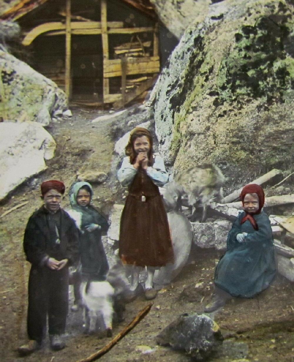
Figure 1.--This Magic Lattern slide was taken in the western region if Morways southrr bulb. The photohraph was taken at the foot of Brickdal Glacier. It was already becoming a tourust attraction. The dealer reports that the phigraph was taken about 1888.
Norway resembles a slanted thermometer with a large, wide southern bulbn and long norhern region -- a narrow northern neck. There was also the Svalbard Archepeligo off the northern neck which is sharedvwith the Soviet Union. Almost all the population is located in the southern bullb, including the capital--Oslo. The southern bulb has four regions: Mid/North, West, East, and South. This is where most Norwegians live. There are lightly populated area even in the southern bulb. The populatiob is concentrated in the cities and towns along the coastal areas of the bulb. The largest cities are located here (Trondheim, Oslo, Stravanger, and Bergen). Very few peoole live in the central mountaneous core of the bulb. The only important city in the narrow neck is Tromsø. Narvik, the scene of a World War II battle, is located in the northrn neck, but is a smaller port town. The southern bulb is also where almost all the arable land was located.